
East Mamprusi Municipal District topographic map
Interactive map
Click on the map to display elevation.
About this map
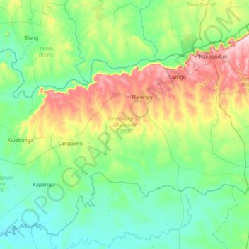
Name: East Mamprusi Municipal District topographic map, elevation, terrain.
Location: East Mamprusi Municipal District, North East Region, Ghana (10.26172 -0.67048 10.64394 -0.00361)
Average elevation: 211 m
Minimum elevation: 116 m
Maximum elevation: 522 m
Other topographic maps
Click on a map to view its topography, its elevation and its terrain.