
Thank you for supporting this site ❤️
Make a donation
Make a donation
Lavongai topographic map
Click on the map to display elevation.
Thank you for supporting this site ❤️
Make a donation
Make a donation
About this map
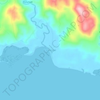
Name: Lavongai topographic map, elevation, terrain.
Location: Lavongai, New Ireland, Islands Region, Papua New Guinea (-2.67897 150.25753 -2.63897 150.29753)
Average elevation: 43 m
Minimum elevation: -1 m
Maximum elevation: 253 m
Thank you for supporting this site ❤️
Make a donation
Make a donation