
Thank you for supporting this site ❤️
Make a donation
Make a donation
Lipa topographic map
Click on the map to display elevation.
Thank you for supporting this site ❤️
Make a donation
Make a donation
About this map
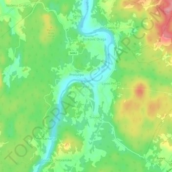
Name: Lipa topographic map, elevation, terrain.
Location: Lipa, Općina Generalski Stol, Karlovac County, 47261, Croatia (45.38715 15.37416 45.42715 15.41416)
Average elevation: 170 m
Minimum elevation: 125 m
Maximum elevation: 237 m
Thank you for supporting this site ❤️
Make a donation
Make a donation