
Thank you for supporting this site ❤️
Make a donation
Make a donation
Río Seco Bajo topographic map
Click on the map to display elevation.
Thank you for supporting this site ❤️
Make a donation
Make a donation
About this map
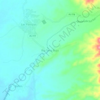
Name: Río Seco Bajo topographic map, elevation, terrain.
Location: Río Seco Bajo, Chulucanas, Morropón, Piura, Perú (-5.03574 -80.16893 -4.99574 -80.12893)
Average elevation: 117 m
Minimum elevation: 89 m
Maximum elevation: 215 m
Thank you for supporting this site ❤️
Make a donation
Make a donation
Other topographic maps
Click on a map to view its topography, its elevation and its terrain.