
Le Ville topographic map
Interactive map
Click on the map to display elevation.
About this map
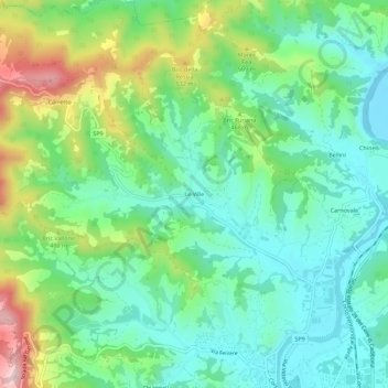
Name: Le Ville topographic map, elevation, terrain.
Location: Le Ville, Cairo Montenotte, Savone, Ligurie, 17014, Italie (44.40307 8.23835 44.44307 8.27835)
Average elevation: 408 m
Minimum elevation: 305 m
Maximum elevation: 647 m