
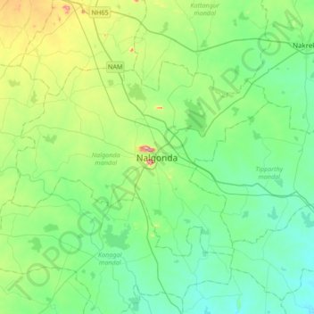
Nalgonda topographic map
Interactive map
Click on the map to display elevation.
About this map
Name: Nalgonda topographic map, elevation, terrain.
Location: Nalgonda, Nalgonda mandal, Nalgonda, Telangana, 508001, Inde (16.89044 79.10692 17.21044 79.42692)
Average elevation: 219 m
Minimum elevation: 151 m
Maximum elevation: 445 m