
Chara topographic map
Interactive map
Click on the map to display elevation.
About this map
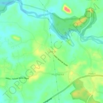
Name: Chara topographic map, elevation, terrain.
Location: Chara, Karkala taluk, Udupi district, Karnataka, Inde (13.44803 74.95532 13.48803 74.99532)
Average elevation: 65 m
Minimum elevation: 39 m
Maximum elevation: 120 m