
Thank you for supporting this site ❤️
Make a donation
Make a donation
Ban Nong Samrong topographic map
Click on the map to display elevation.
Thank you for supporting this site ❤️
Make a donation
Make a donation
About this map
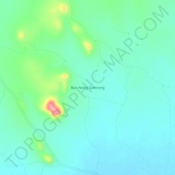
Name: Ban Nong Samrong topographic map, elevation, terrain.
Location: Ban Nong Samrong, Kanchanaburi Province, Thailand (14.18835 99.55871 14.22835 99.59871)
Average elevation: 81 m
Minimum elevation: 56 m
Maximum elevation: 174 m
Thank you for supporting this site ❤️
Make a donation
Make a donation
Other topographic maps
Click on a map to view its topography, its elevation and its terrain.