Parc de l'Abbaye du Lys topographic map
Interactive map
Click on the map to display elevation.
About this map
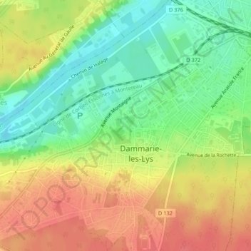
Name: Parc de l'Abbaye du Lys topographic map, elevation, terrain.
Average elevation: 66 m
Minimum elevation: 36 m
Maximum elevation: 95 m

Click on the map to display elevation.
Name: Parc de l'Abbaye du Lys topographic map, elevation, terrain.
Average elevation: 66 m
Minimum elevation: 36 m
Maximum elevation: 95 m