
Mannix topographic map
Interactive map
Click on the map to display elevation.
About this map
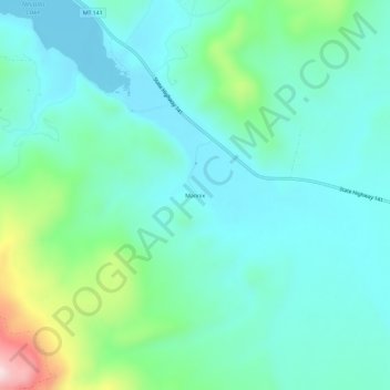
Name: Mannix topographic map, elevation, terrain.
Location: Mannix, Powell County, Montana, USA (46.75466 -112.78810 46.79466 -112.74810)
Average elevation: 1,490 m
Minimum elevation: 1,401 m
Maximum elevation: 1,823 m