
Thank you for supporting this site ❤️
Make a donation
Make a donation
Aarbergen topographic map
Click on the map to display elevation.
Thank you for supporting this site ❤️
Make a donation
Make a donation
About this map
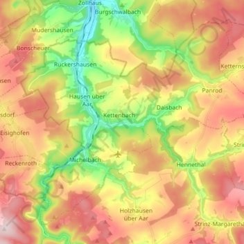
Name: Aarbergen topographic map, elevation, terrain.
Location: Aarbergen, Rheingau-Taunus-Kreis, Hessen, 65326, Duitsland (50.20554 8.02149 50.28158 8.16197)
Average elevation: 306 m
Minimum elevation: 153 m
Maximum elevation: 454 m
Thank you for supporting this site ❤️
Make a donation
Make a donation