
Thank you for supporting this site ❤️
Make a donation
Make a donation
San Silvestro topographic map
Click on the map to display elevation.
Thank you for supporting this site ❤️
Make a donation
Make a donation
About this map
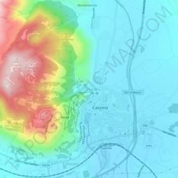
Name: San Silvestro topographic map, elevation, terrain.
Location: San Silvestro, Cassino, Frosinone, Lazio, 03043, Italy (41.47669 13.80723 41.51669 13.84723)
Average elevation: 163 m
Minimum elevation: 29 m
Maximum elevation: 583 m
Thank you for supporting this site ❤️
Make a donation
Make a donation