
Brozas topographic map
Interactive map
Click on the map to display elevation.
About this map
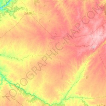
Name: Brozas topographic map, elevation, terrain.
Location: Brozas, Cáceres, Extremadura, 10950, Spain (39.43925 -6.94291 39.70849 -6.62387)
Average elevation: 338 m
Minimum elevation: 118 m
Maximum elevation: 512 m