
Lac de Joux topographic map
Interactive map
Click on the map to display elevation.
About this map
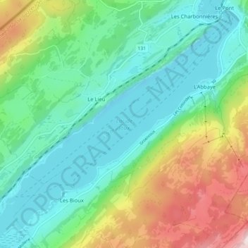
Name: Lac de Joux topographic map, elevation, terrain.
Average elevation: 1,151 m
Minimum elevation: 989 m
Maximum elevation: 1,547 m
Le lac de Joux est situé à 1 004 mètres d'altitude. Sa surface est de 9,5 kilomètres carrés et sa profondeur maximale est de 32 mètres.