
Kaoma topographic map
Interactive map
Click on the map to display elevation.
About this map
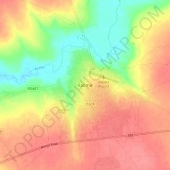
Name: Kaoma topographic map, elevation, terrain.
Location: Kaoma, Kaoma District, Western Province, Zambia (-14.84092 24.75857 -14.76092 24.83857)
Average elevation: 1,160 m
Minimum elevation: 1,117 m
Maximum elevation: 1,191 m
Other topographic maps
Click on a map to view its topography, its elevation and its terrain.
Sesheke
Sesheke, Sesheke District, Western Province, Zambia
Average elevation: 959 m