
Thank you for supporting this site ❤️
Make a donation
Make a donation
Swifterbant topographic map
Click on the map to display elevation.
Thank you for supporting this site ❤️
Make a donation
Make a donation
About this map
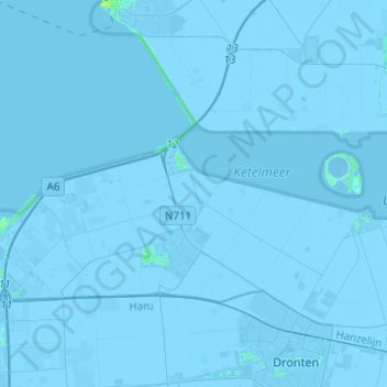
Name: Swifterbant topographic map, elevation, terrain.
Location: Swifterbant, Dronten, Flevoland, Nederland (52.51412 5.51129 52.66356 5.72554)
Average elevation: -3 m
Minimum elevation: -7 m
Maximum elevation: 11 m
Thank you for supporting this site ❤️
Make a donation
Make a donation