
Riosa topographic map
Interactive map
Click on the map to display elevation.
About this map
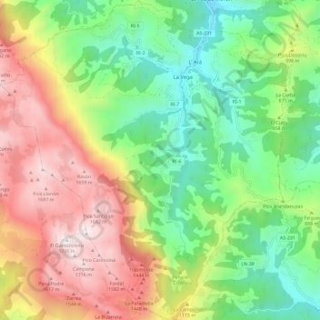
Name: Riosa topographic map, elevation, terrain.
Location: Riosa, Asturië, 33160, Spanje (43.16705 -5.94807 43.25076 -5.84267)
Average elevation: 879 m
Minimum elevation: 254 m
Maximum elevation: 1,771 m