
Thank you for supporting this site ❤️
Make a donation
Make a donation
Benton Tank topographic map
Click on the map to display elevation.
Thank you for supporting this site ❤️
Make a donation
Make a donation
About this map
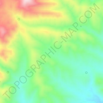
Name: Benton Tank topographic map, elevation, terrain.
Location: Benton Tank, Greenlee County, Arizona, United States (33.43670 -109.23006 33.43680 -109.22996)
Average elevation: 1,701 m
Minimum elevation: 1,567 m
Maximum elevation: 1,915 m
Thank you for supporting this site ❤️
Make a donation
Make a donation
Other topographic maps
Click on a map to view its topography, its elevation and its terrain.