
Thank you for supporting this site ❤️
Make a donation
Make a donation
White Plains topographic map
Click on the map to display elevation.
Thank you for supporting this site ❤️
Make a donation
Make a donation
About this map
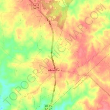
Name: White Plains topographic map, elevation, terrain.
Location: White Plains, Greene County, Georgia, United States (33.44757 -83.05588 33.51526 -83.01285)
Average elevation: 193 m
Minimum elevation: 150 m
Maximum elevation: 221 m
Thank you for supporting this site ❤️
Make a donation
Make a donation