
Thank you for supporting this site ❤️
Make a donation
Make a donation
Alpthal topographic map
Click on the map to display elevation.
Thank you for supporting this site ❤️
Make a donation
Make a donation
About this map
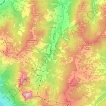
Name: Alpthal topographic map, elevation, terrain.
Location: Alpthal, Schwyz, 8849, Schweiz (47.02245 8.68641 47.09136 8.74468)
Average elevation: 1,291 m
Minimum elevation: 655 m
Maximum elevation: 1,880 m
Thank you for supporting this site ❤️
Make a donation
Make a donation
Other topographic maps
Click on a map to view its topography, its elevation and its terrain.