
Thank you for supporting this site ❤️
Make a donation
Make a donation
Heinersberg topographic map
Click on the map to display elevation.
Thank you for supporting this site ❤️
Make a donation
Make a donation
About this map
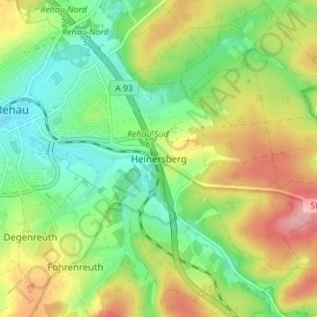
Name: Heinersberg topographic map, elevation, terrain.
Location: Heinersberg, Rehau, Landkreis Hof, Bayern, 95111, Deutschland (50.22382 12.04229 50.26382 12.08229)
Average elevation: 567 m
Minimum elevation: 521 m
Maximum elevation: 633 m
Thank you for supporting this site ❤️
Make a donation
Make a donation