
St. Joseph topographic map
Interactive map
Click on the map to display elevation.
About this map
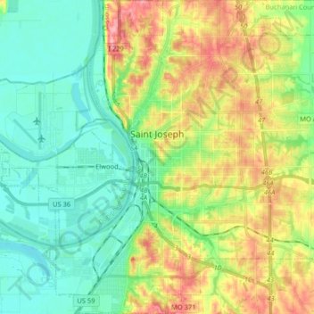
Name: St. Joseph topographic map, elevation, terrain.
Location: St. Joseph, Buchanan County, Missouri, États-Unis d'Amérique (39.69722 -94.89903 39.82119 -94.74334)
Average elevation: 277 m
Minimum elevation: 241 m
Maximum elevation: 343 m