
Thank you for supporting this site ❤️
Make a donation
Make a donation
Ramon Castilla topographic map
Click on the map to display elevation.
Thank you for supporting this site ❤️
Make a donation
Make a donation
About this map
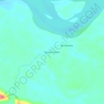
Name: Ramon Castilla topographic map, elevation, terrain.
Location: Ramon Castilla, Raymondi, Atalaya, Ucayali, Perú (-10.64441 -73.93418 -10.60441 -73.89418)
Average elevation: 201 m
Minimum elevation: 186 m
Maximum elevation: 283 m
Thank you for supporting this site ❤️
Make a donation
Make a donation