
Aki topographic map
Interactive map
Click on the map to display elevation.
About this map
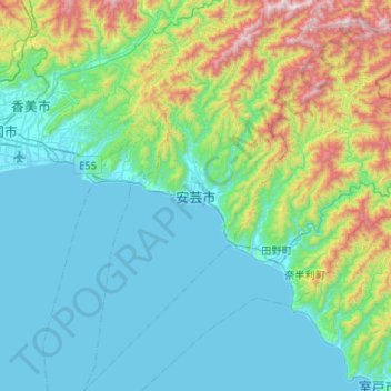
Name: Aki topographic map, elevation, terrain.
Location: Aki, Préfecture de Kōchi, Shikoku, Japon (33.28333 133.75703 33.72035 134.07051)
Average elevation: 271 m
Minimum elevation: 0 m
Maximum elevation: 1,400 m
Other topographic maps
Click on a map to view its topography, its elevation and its terrain.