
Algga topographic map
Click on the map to display elevation.
About this map
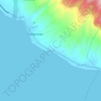
Name: Algga topographic map, elevation, terrain.
Location: Algga, Catarman, Camiguin, Northern Mindanao, Philippines (9.09799 124.66190 9.13799 124.70190)
Average elevation: 39 m
Minimum elevation: -1 m
Maximum elevation: 294 m