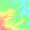
Crownpoint topographic map
Click on the map to display elevation.
Crownpoint
Crownpoint is in central McKinley County along New Mexico State Road 371, which leads south 23 miles (37 km) to Thoreau and Interstate 40, and north 83 miles (134 km) to Farmington. The community sits at an elevation of 6,851 feet (2,088 m) on land that drains toward the Chaco River 30 miles (48 km) to the north. According to the U.S. Census Bureau, the Crownpoint CDP has a total area of 67.1 square miles (174 km2), of which 0.003 square miles (0.008 km2), or 0.004%, are water.
About this map
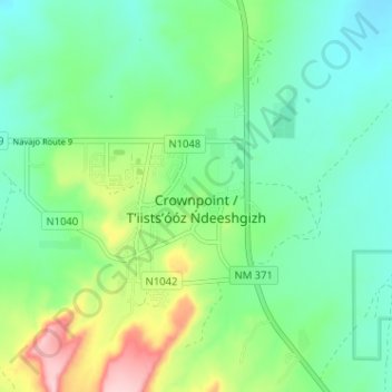
Name: Crownpoint topographic map, elevation, terrain.
Average elevation: 2,099 m
Minimum elevation: 2,041 m
Maximum elevation: 2,245 m
Other topographic maps
Click on a map to view its topography, its elevation and its terrain.