
Thank you for supporting this site ❤️
Make a donation
Make a donation
Pachaj topographic map
Click on the map to display elevation.
Thank you for supporting this site ❤️
Make a donation
Make a donation
About this map
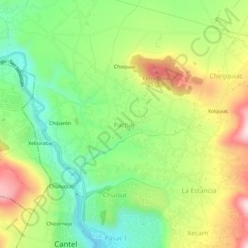
Name: Pachaj topographic map, elevation, terrain.
Location: Pachaj, Cantel, Quetzaltenango, Guatemala (14.81060 -91.46596 14.85060 -91.42596)
Average elevation: 2,423 m
Minimum elevation: 2,269 m
Maximum elevation: 2,636 m
Thank you for supporting this site ❤️
Make a donation
Make a donation