
Thank you for supporting this site ❤️
Make a donation
Make a donation
Sarita Vihar Tehsil topographic map
Click on the map to display elevation.
Thank you for supporting this site ❤️
Make a donation
Make a donation
About this map
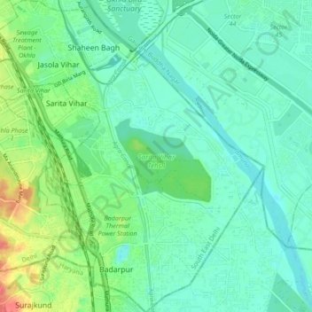
Name: Sarita Vihar Tehsil topographic map, elevation, terrain.
Location: Sarita Vihar Tehsil, South East Delhi District, Delhi, India (28.48402 77.27021 28.55776 77.34660)
Average elevation: 205 m
Minimum elevation: 190 m
Maximum elevation: 247 m
Thank you for supporting this site ❤️
Make a donation
Make a donation