
Thank you for supporting this site ❤️
Make a donation
Make a donation
Katoi (316) topographic map
Click on the map to display elevation.
Thank you for supporting this site ❤️
Make a donation
Make a donation
About this map
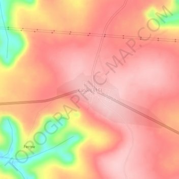
Name: Katoi (316) topographic map, elevation, terrain.
Location: Katoi (316), Kwango, Democratic Republic of the Congo (-4.78443 17.33980 -4.74443 17.37980)
Average elevation: 568 m
Minimum elevation: 430 m
Maximum elevation: 622 m
Thank you for supporting this site ❤️
Make a donation
Make a donation