
Smedager topographic map
Interactive map
Click on the map to display elevation.
About this map
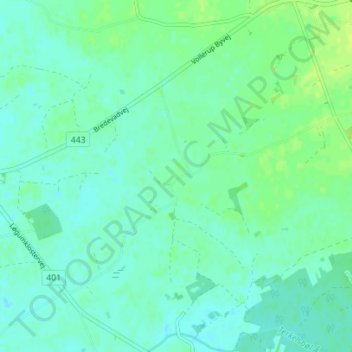
Name: Smedager topographic map, elevation, terrain.
Location: Smedager, Kommune Apenrade, Region Süddänemark, Dänemark (54.95629 9.15951 54.99629 9.19951)
Average elevation: 22 m
Minimum elevation: 17 m
Maximum elevation: 31 m