
Thank you for supporting this site ❤️
Make a donation
Make a donation
Bulu Batubellang topographic map
Click on the map to display elevation.
Thank you for supporting this site ❤️
Make a donation
Make a donation
About this map
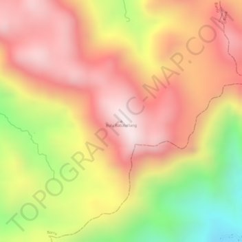
Name: Bulu Batubellang topographic map, elevation, terrain.
Location: Bulu Batubellang, Barru, South Sulawesi, Sulawesi, Indonesia (-4.59605 119.78865 -4.59595 119.78875)
Average elevation: 946 m
Minimum elevation: 509 m
Maximum elevation: 1,212 m
Thank you for supporting this site ❤️
Make a donation
Make a donation