
Thank you for supporting this site ❤️
Make a donation
Make a donation
Ghodegaon topographic map
Click on the map to display elevation.
Thank you for supporting this site ❤️
Make a donation
Make a donation
About this map
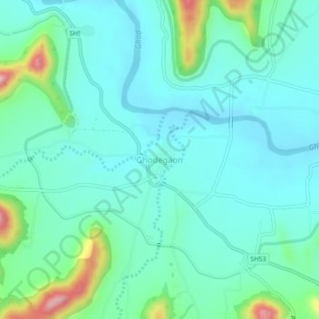
Name: Ghodegaon topographic map, elevation, terrain.
Location: Ghodegaon, Ambegaon, Pune District, Maharashtra, 412408, India (19.02660 73.81867 19.06660 73.85867)
Average elevation: 684 m
Minimum elevation: 637 m
Maximum elevation: 868 m
Thank you for supporting this site ❤️
Make a donation
Make a donation
Other topographic maps
Click on a map to view its topography, its elevation and its terrain.