
Tullysaran topographic map
Click on the map to display elevation.
About this map
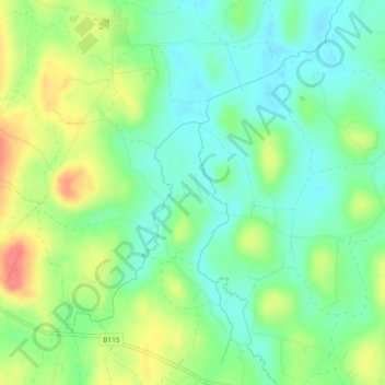
Name: Tullysaran topographic map, elevation, terrain.
Location: Tullysaran, Armagh, Northern Ireland, United Kingdom (54.37432 -6.73522 54.38419 -6.72486)
Average elevation: 36 m
Minimum elevation: 13 m
Maximum elevation: 75 m