
Rain topographic map
Interactive map
Click on the map to display elevation.
About this map
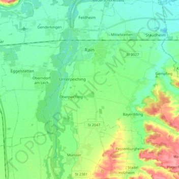
Name: Rain topographic map, elevation, terrain.
Location: Rain, Rain (Schwaben), Danube-Ries, Bavière, 86641, Allemagne (48.60915 10.87135 48.72124 11.03955)
Average elevation: 414 m
Minimum elevation: 386 m
Maximum elevation: 486 m