
Departamento de Presidente Hayes topographic map
Interactive map
Click on the map to display elevation.
About this map
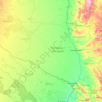
Name: Departamento de Presidente Hayes topographic map, elevation, terrain.
Average elevation: 140 m
Minimum elevation: 49 m
Maximum elevation: 784 m
Other topographic maps
Click on a map to view its topography, its elevation and its terrain.
Brunnental
Brunnental, Teniente 1° Manuel Irala Fernández, Presidente Hayes, Región Occidental, Paraguay
Average elevation: 121 m