Santa Catarina topographic map
Click on the map to display elevation.
Santa Catarina
The highest point of the state is the Morro da Boa Vista, at an altitude of 1,827 m, and the second-highest point is the Morro da Igreja, in the town of Urubici, at an altitude of 1,822 m.
About this map
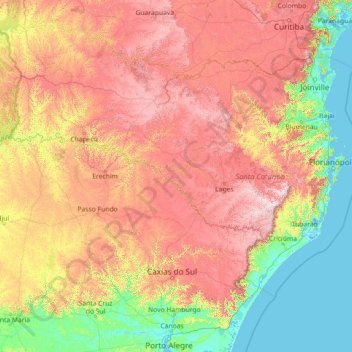
Name: Santa Catarina topographic map, elevation, terrain.
Location: Santa Catarina, South Region, Brazil (-29.44091 -53.83735 -25.95572 -48.10211)
Average elevation: 530 m
Minimum elevation: -3 m
Maximum elevation: 1,778 m
Other topographic maps
Click on a map to view its topography, its elevation and its terrain.