
Thank you for supporting this site ❤️
Make a donation
Make a donation
Clifton topographic map
Click on the map to display elevation.
Thank you for supporting this site ❤️
Make a donation
Make a donation
About this map
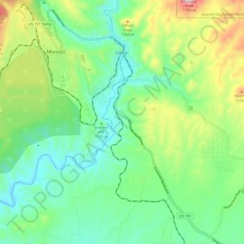
Name: Clifton topographic map, elevation, terrain.
Location: Clifton, Greenlee County, Arizona, United States (32.97854 -109.32370 33.07073 -109.25430)
Average elevation: 1,194 m
Minimum elevation: 1,012 m
Maximum elevation: 1,612 m
Thank you for supporting this site ❤️
Make a donation
Make a donation