
Inglis Falls topographic map
Interactive map
Click on the map to display elevation.
About this map
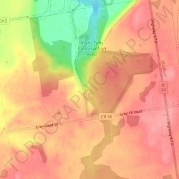
Name: Inglis Falls topographic map, elevation, terrain.
Average elevation: 264 m
Minimum elevation: 199 m
Maximum elevation: 291 m
Other topographic maps
Click on a map to view its topography, its elevation and its terrain.
Kemble
Canada > Ontario > Grey County > Georgian Bluffs
Kemble, Georgian Bluffs, Grey County, Southwestern Ontario, Ontario, Canada
Average elevation: 243 m