
Ras Tanura topographic map
Interactive map
Click on the map to display elevation.
About this map
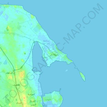
Name: Ras Tanura topographic map, elevation, terrain.
Location: Ras Tanura, Eastern Region, Saudi Arabia (26.54987 49.89878 26.86987 50.21878)
Average elevation: 2 m
Minimum elevation: -2 m
Maximum elevation: 26 m