
Kvillinge församling topographic map
Interactive map
Click on the map to display elevation.
About this map
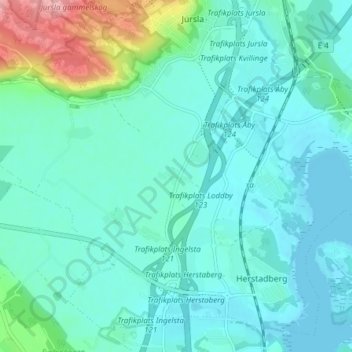
Name: Kvillinge församling topographic map, elevation, terrain.
Average elevation: 23 m
Minimum elevation: 0 m
Maximum elevation: 127 m
Other topographic maps
Click on a map to view its topography, its elevation and its terrain.
Pryssgården
Suède > Comté d'Östergötland > Dövestad
Pryssgården, Dövestad, Norrköping, Landskapet Östergötland, Comté d'Östergötland, Götaland, Suède
Average elevation: 31 m