
City of Bayswater topographic map
Interactive map
Click on the map to display elevation.
About this map
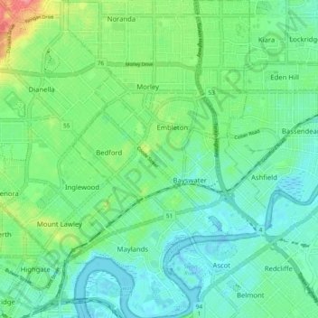
Name: City of Bayswater topographic map, elevation, terrain.
Location: City of Bayswater, Western Australia, Australia (-31.95209 115.87868 -31.87168 115.93875)
Average elevation: 23 m
Minimum elevation: -6 m
Maximum elevation: 86 m
Other topographic maps
Click on a map to view its topography, its elevation and its terrain.