
Thank you for supporting this site ❤️
Make a donation
Make a donation
Atwell topographic map
Click on the map to display elevation.
Thank you for supporting this site ❤️
Make a donation
Make a donation
About this map
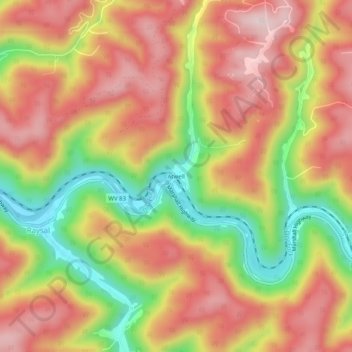
Name: Atwell topographic map, elevation, terrain.
Location: Atwell, McDowell County, West Virginia, 24879, United States (37.32928 -81.78261 37.36928 -81.74261)
Average elevation: 559 m
Minimum elevation: 354 m
Maximum elevation: 712 m
Thank you for supporting this site ❤️
Make a donation
Make a donation
Other topographic maps
Click on a map to view its topography, its elevation and its terrain.