
Mayen topographic map
Interactive map
Click on the map to display elevation.
About this map
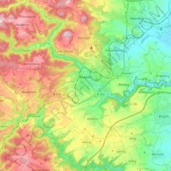
Name: Mayen topographic map, elevation, terrain.
Location: Mayen, Landkreis Mayen-Koblenz, Rijnland-Palts, Duitsland (50.28056 7.09627 50.36330 7.29621)
Average elevation: 331 m
Minimum elevation: 162 m
Maximum elevation: 575 m