
Blokhus topographic map
Interactive map
Click on the map to display elevation.
About this map
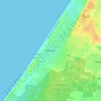
Name: Blokhus topographic map, elevation, terrain.
Location: Blokhus, Jammerbugt Kommune, Region Nordjütland, 9492, Dänemark (57.23235 9.56423 57.27235 9.60423)
Average elevation: 8 m
Minimum elevation: 0 m
Maximum elevation: 28 m