
Chauchilla topographic map
Interactive map
Click on the map to display elevation.
About this map
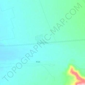
Name: Chauchilla topographic map, elevation, terrain.
Location: Chauchilla, Vista Alegre, Nasca, Ica, Pérou (-14.99215 -74.95168 -14.95215 -74.91168)
Average elevation: 560 m
Minimum elevation: 524 m
Maximum elevation: 748 m