
Thank you for supporting this site ❤️
Make a donation
Make a donation
Lagunillas topographic map
Click on the map to display elevation.
Thank you for supporting this site ❤️
Make a donation
Make a donation
About this map
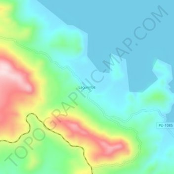
Name: Lagunillas topographic map, elevation, terrain.
Location: Lagunillas, Santa Lucía, Lampa, Puno, Perú (-15.76706 -70.78832 -15.72706 -70.74832)
Average elevation: 4,263 m
Minimum elevation: 4,169 m
Maximum elevation: 4,520 m
Thank you for supporting this site ❤️
Make a donation
Make a donation