
Thank you for supporting this site ❤️
Make a donation
Make a donation
Simpson topographic map
Click on the map to display elevation.
Thank you for supporting this site ❤️
Make a donation
Make a donation
About this map
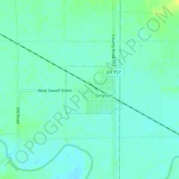
Name: Simpson topographic map, elevation, terrain.
Location: Simpson, Mitchell County, Kansas, 67478, United States (39.38256 -97.93887 39.38970 -97.92791)
Average elevation: 407 m
Minimum elevation: 401 m
Maximum elevation: 420 m
Thank you for supporting this site ❤️
Make a donation
Make a donation
Other topographic maps
Click on a map to view its topography, its elevation and its terrain.