
Rangdum topographic map
Interactive map
Click on the map to display elevation.
About this map
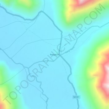
Name: Rangdum topographic map, elevation, terrain.
Location: Rangdum, Sankoo tehsil, Kargil District, Ladakh, Inde (34.01619 76.35200 34.05619 76.39200)
Average elevation: 4,128 m
Minimum elevation: 3,988 m
Maximum elevation: 4,857 m