
Thank you for supporting this site ❤️
Make a donation
Make a donation
Tikamsingh ki Dhani topographic map
Click on the map to display elevation.
Thank you for supporting this site ❤️
Make a donation
Make a donation
About this map
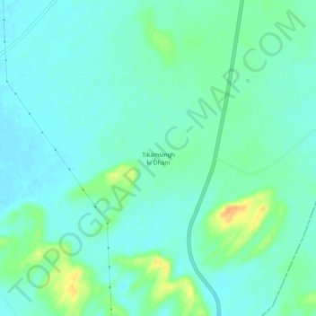
Name: Tikamsingh ki Dhani topographic map, elevation, terrain.
Location: Tikamsingh ki Dhani, Dechoo Tehsil, Phalodi, Rajasthan, India (26.69384 72.29600 26.73384 72.33600)
Average elevation: 285 m
Minimum elevation: 276 m
Maximum elevation: 310 m
Thank you for supporting this site ❤️
Make a donation
Make a donation