
Turrachsee topographic map
Interactive map
Click on the map to display elevation.
About this map
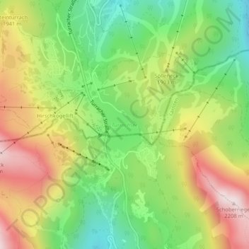
Name: Turrachsee topographic map, elevation, terrain.
Average elevation: 1,849 m
Minimum elevation: 1,569 m
Maximum elevation: 2,194 m
Der Turracher See oder Turrachsee ist ein Gebirgssee auf der Turracher Höhe an der Landesgrenze zwischen Kärnten und der Steiermark.
Other topographic maps
Click on a map to view its topography, its elevation and its terrain.
Turrach
Österreich > Steiermark > Bezirk Murau > Stadl-Predlitz
Turrach, Stadl-Predlitz, Bezirk Murau, Steiermark, 8862, Österreich
Average elevation: 1,607 m